Severe Thunderstorm Warning for St. Clair and Talladega Counties until 5:45 p.m.
Published 5:02 pm Thursday, July 6, 2017
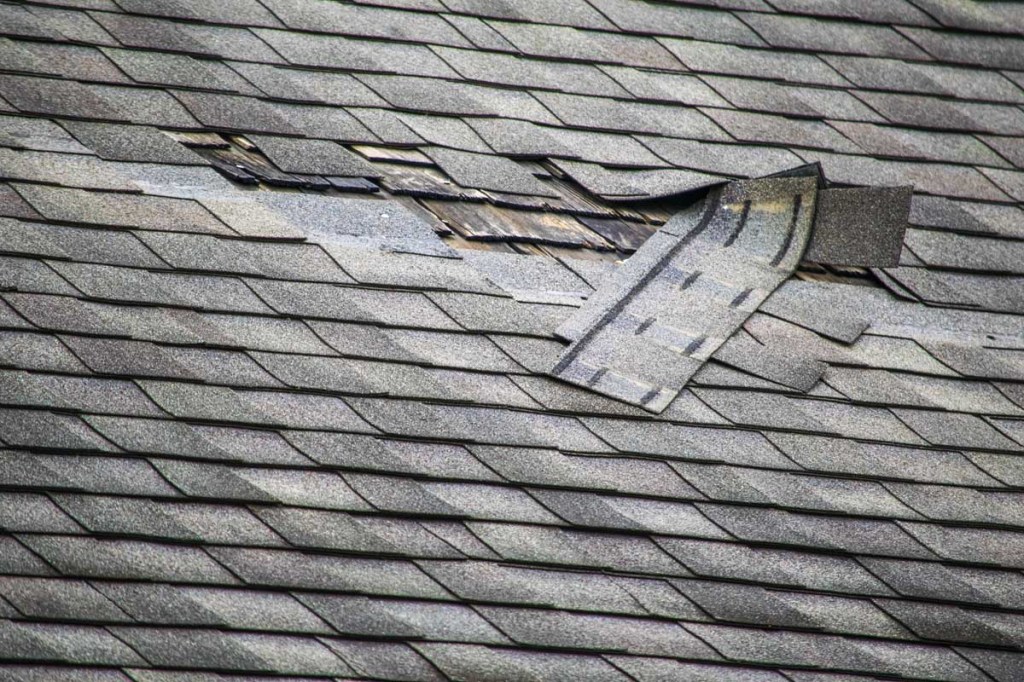
- Possible roof damage with straight line winds up to 60 mph
The National Weather Service in Birmingham has issued a Severe Thunderstorm Warning on Thursday, July 6 until 5:45 p.m. for central Talladega County and southeastern St. Clair County.
Severe thunderstorms were located along a line extending from Honda Manufacturing of Alabama to near Logan Martin Dam, moving east at 30 mph. Winds gusts of 60 mph and penny size hail have been indicated by radar. Expect damage to roofs, siding, and trees.
Locations impacted include Oxford, Talladega, Pell City, Lincoln, Riverside, Vincent, Munford, Waldo, Alpine Bay Resort, Talladega Superspeedway, Talladega Municipal Airport, Grant Town, Alpine, Honda Manufacturing of Alabama, Coosa Island, Logan Martin Dam, Country Club Estates, Camp Mac, Jackson Shoals and Ironaton.
PRECAUTIONARY/PREPAREDNESS ACTIONS
For your protection, move to an interior room on the lowest floor of a building.
Torrential rainfall is also occurring with these storms, and may lead to localized flooding. Do not drive your vehicle through flooded roadways. Frequent cloud to ground lightning is occurring with these storms. Lightning can strike 10 miles away from a thunderstorm. Seek a safe shelter inside a building or vehicle.